Note
Go to the end to download the full example code.
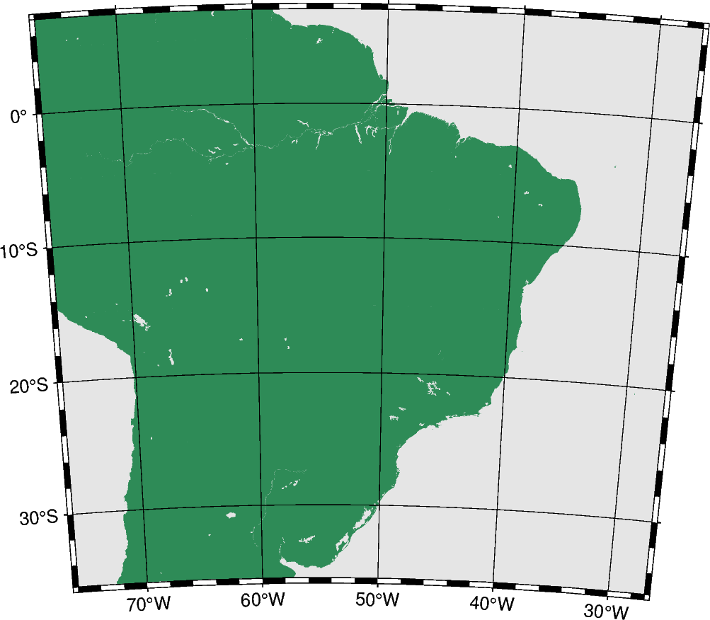
Albers conic equal-area projection
This projection, developed by Heinrich C. Albers in 1805, is predominantly used to map regions of large east-west extent, in particular the United States. It is a conic, equal-area projection, in which parallels are unequally spaced arcs of concentric circles, more closely spaced at the north and south edges of the map. Meridians, on the other hand, are equally spaced radii about a common center, and cut the parallels at right angles. Distortion in scale and shape vanishes along the two standard parallels. Between them, the scale along parallels is too small; beyond them it is too large. The opposite is true for the scale along meridians.
blon0/lat0/lat1/lat2/scale or Blon0/lat0/lat1/lat2/width
b or B: Sets the projection type.
lon0/lat0: Sets the projection center.
lat1/lat2: Sets the two standard parallels.
scale or width: Sets the map size.
Total running time of the script: (0 minutes 0.278 seconds)