Note
Go to the end to download the full example code.
Perspective projection
The perspective projection imitates the view of the Earth from a finite point in space. In a full view of the earth one third of its surface area can be seen.
glon0/lat0/scale[+aazimuth][+ttilt][+vvwidth/vheight][+wtwist][+zaltitude] or Glon0/lat0/width[+aazimuth][+ttilt][+vvwidth/vheight][+wtwist][+zaltitude]
g or G: Sets the projection type.
lon0/lat0: Sets the projection center.
scale or width: Sets the map size.
+aazimuth: The direction in which you are looking, measured clockwise from north in degrees [Optional].
+ttilt: The viewing angle relative to zenith in degrees. A tilt of 0° is looking straight down, 60° is looking 30° above horizon [Optional].
+vvwidth/vheight: The viewport angle in degrees [Optional].
+wtwist: The clockwise rotation of the image in degrees [Optional].
+zaltitude: The height of the viewpoint above local sea level in km. If altitude is less than 10, it is the distance from the center of the earth to the viewpoint in earth radii [Optional].
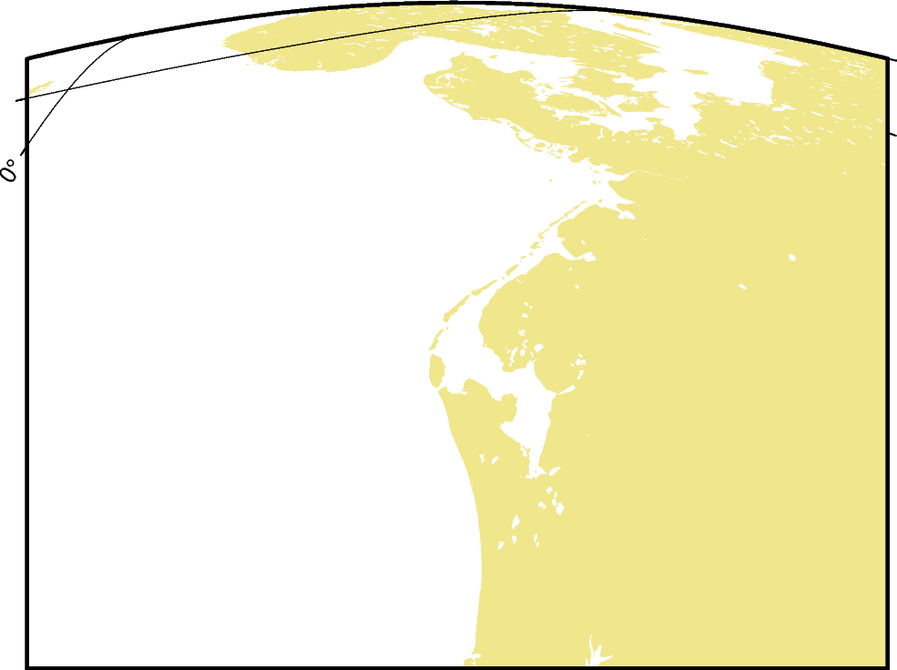
The example shows the coast of Northern Europe viewed from 250 km above sea level looking 30° from north at a tilt of 45°. The height and width of the viewing angle is both 60°, which imitates viewing with naked eye.
Total running time of the script: (0 minutes 1.284 seconds)