Note
Go to the end to download the full example code.
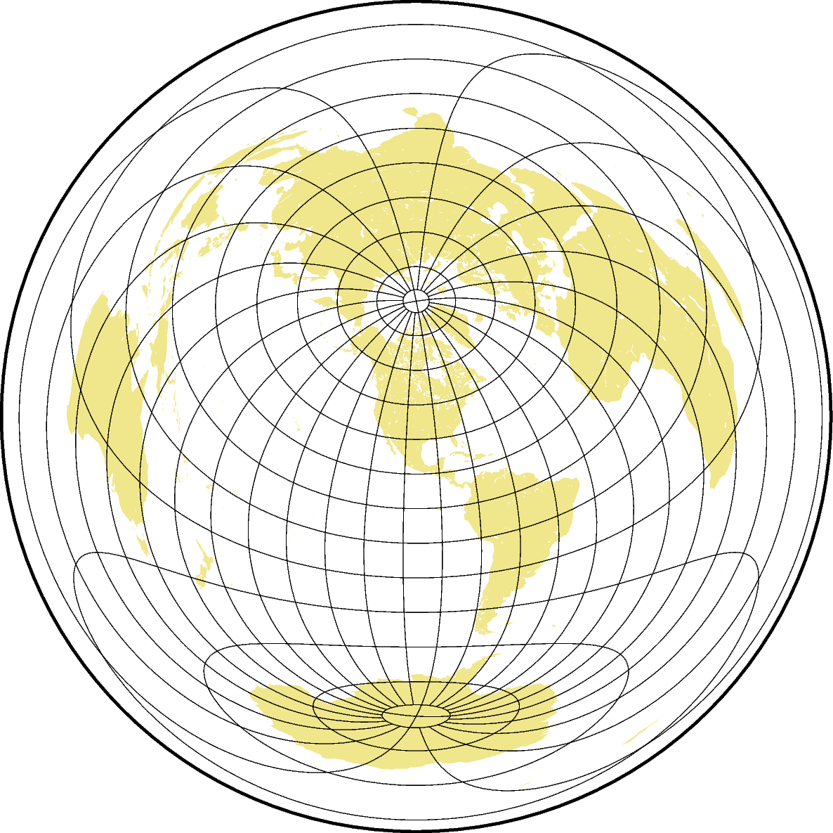
Azimuthal equidistant projection
The main advantage of this projection is that distances from the projection center are displayed in correct proportions. Also directions measured from the projection center are correct. It is very useful for a global view on locations that lie within a certain distance or for comparing distances of different locations relative to the projection center.
elon0/lat0[/horizon]/scale or Elon0/lat0[/horizon]/width
e or E: Sets the projection type.
lon0/lat0: Sets the projection center.
horizon: The maximum distance from the projection center to the edge of the map (i.e. the visible portion of the rest of the world map) in degrees (<= 180°) [Optional, default is 180°].
scale or width: Sets the map size.
coast [WARNING]: Fill/clip continent option (-G) may not work for this projection.
coast [WARNING]: If the antipode (0/4.65379e-310) is in the ocean then chances are good it will work.
coast [WARNING]: Otherwise, avoid projection center coordinates that are exact multiples of 80 degrees.
Total running time of the script: (0 minutes 0.335 seconds)