Note
Go to the end to download the full example code.
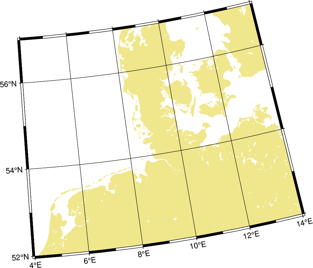
General stereographic projection
This map projection is a conformal, azimuthal projection. It is mainly used with a projection center in one of the poles. Then meridians appear as straight lines and cross latitudes at a right angle. Unlike the azimuthal equidistant projection, the distances in this projection are not displayed in correct proportions. It is often used as a hemisphere map like the Lambert Azimuthal Equal Area projection.
slon0/lat0[/horizon]/scale or Slon0/lat0[/horizon]/width
s or S: Sets the projection type.
lon0/lat0: Sets the projection center.
horizon: Sets the maximum distance from the projection center in degrees (< 180°) [Optional, default is 90°].
scale or width: Sets the map size.
Total running time of the script: (0 minutes 0.178 seconds)