Note
Go to the end to download the full example code.
Gnomonic projection
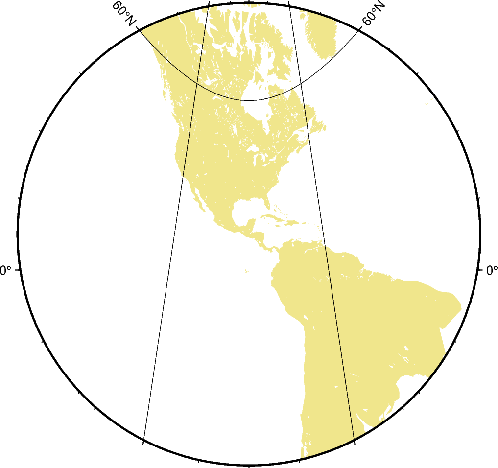
The point of perspective of the gnomonic projection lies at the center of the Earth. As a consequence great circles (orthodromes) on the surface of the Earth are displayed as straight lines, which makes it suitable for distance estimation for navigational purposes. It is neither conformal nor equal-area and the distortion increases greatly with distance to the projection center. It follows that the scope of application is restricted to a small area around the projection center (at a maximum of 60°).
flon0/lat0[/horizon]/scale or Flon0/lat0[/horizon]/width
f or F: Sets the projection type.
lon0/lat0: Sets the projection center.
horizon: Sets the maximum distance from the projection center in degrees (< 90°) [Optional, default is 60°].
scale or width: Sets the map size.
Total running time of the script: (0 minutes 0.217 seconds)