Note
Go to the end to download the full example code.
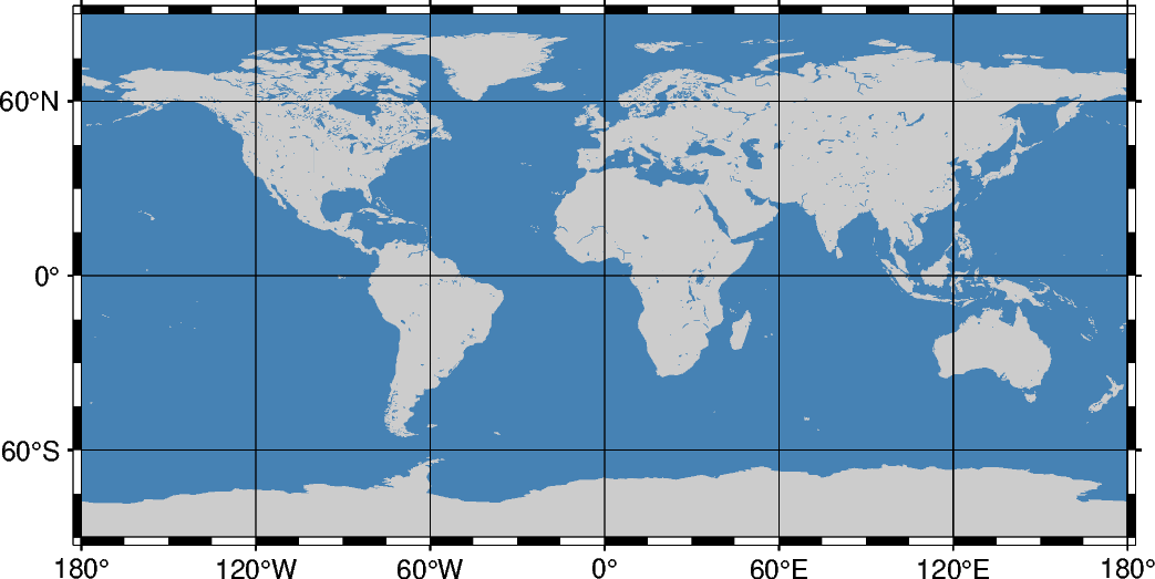
Cylindrical equidistant projection
This simple cylindrical projection is really a linear scaling of longitudes and latitudes. The most common form is the Plate Carrée projection, where the scaling of longitudes and latitudes is the same. All meridians and parallels are straight lines.
q[lon0/[lat0/]]scale or Q[lon0/[lat0/]]width
q or Q: Sets the projection type.
lon0: Sets the central meridian [Optional, default is the middle of the map].
lat0: Sets the standard parallel [Optional, default is the equator]. When supplied, lon0 must be supplied as well.
scale or width: Sets the map size.
Total running time of the script: (0 minutes 0.180 seconds)