Note
Go to the end to download the full example code.
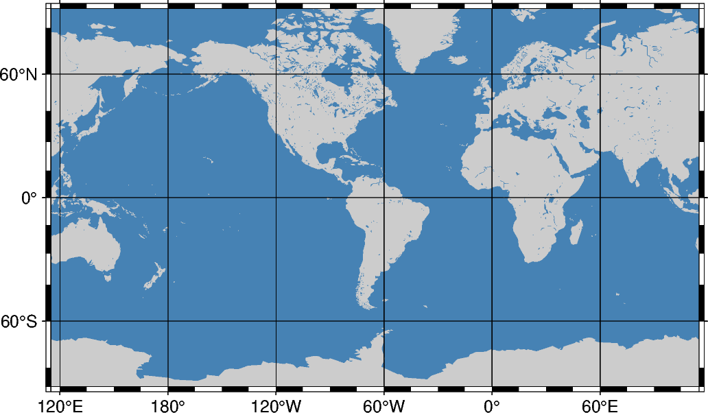
Miller cylindrical projection
This cylindrical projection, presented by Osborn Maitland Miller of the American Geographic Society in 1942, is neither equal nor conformal. All meridians and parallels are straight lines. The projection was designed to be a compromise between Mercator and other cylindrical projections. Specifically, Miller spaced the parallels by using Mercator’s formula with 0.8 times the actual latitude, thus avoiding the singular poles; the result was then divided by 0.8.
j[lon0/]/scale or J[lon0/]/width
j or J: Sets the projection type.
lon0: Sets the central meridian [Optional].
scale or width: Sets the map size.
Total running time of the script: (0 minutes 0.184 seconds)