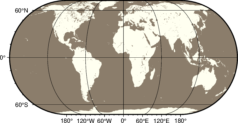
The Eckert IV projection, presented by the German cartographer Max
Eckert-Greiffendorff in 1906, is a pseudo-cylindrical equal-area projection.
Central meridian and all parallels are straight lines; other meridians are
equally spaced elliptical arcs. The scale is true along latitude 40°30’.
kf[lon0/]scale or Kf[lon0/]width
kf or Kf: Sets the projection type.
lon0: Sets the central meridian [Optional].
scale or width: Sets the map size.
importpygmtfrompygmt.paramsimportAxisfig=pygmt.Figure()# Use region "d" to specify global region (-180/180/-90/90)fig.coast(region="d",projection="Kf12c",frame=Axis(annot=True,tick=True,grid=True),land="ivory",water="bisque4",)fig.show()
Total running time of the script: (0 minutes 0.197 seconds)