Note
Go to the end to download the full example code.
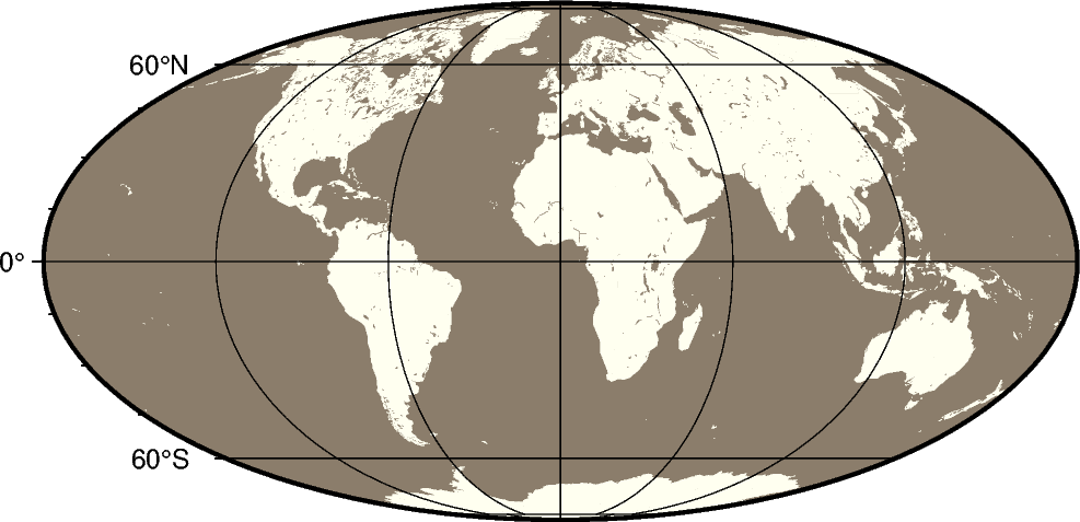
Mollweide projection
This pseudo-cylindrical, equal-area projection was developed by the German mathematician and astronomer Karl Brandan Mollweide in 1805. Parallels are unequally spaced straight lines with the meridians being equally spaced elliptical arcs. The scale is only true along latitudes 40°44’ north and south. The projection is used mainly for global maps showing data distributions. It is occasionally referenced under the name homalographic projection.
w[lon0/]scale or W[lon0/]width
w or W: Sets the projection type.
lon0: Sets the central meridian [Optional].
scale or width: Sets the map size.
Total running time of the script: (0 minutes 0.199 seconds)