Note
Go to the end to download the full example code.
Robinson projection
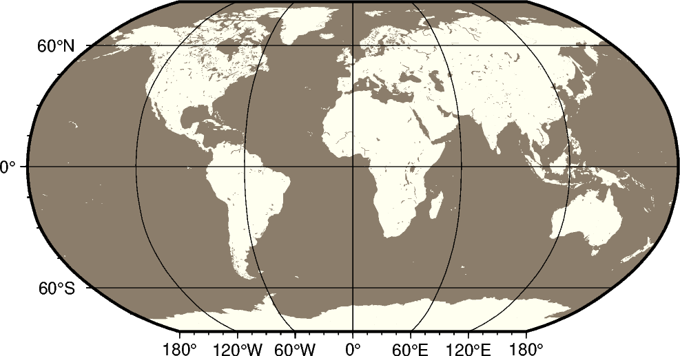
The Robinson projection, presented by the American geographer and cartographer Arthur H. Robinson in 1963, is a modified cylindrical projection that is neither conformal nor equal-area. Central meridian and all parallels are straight lines; other meridians are curved. It uses lookup tables rather than analytic expressions to make the world map “look” right [1]. The scale is true along latitudes 38° north and south. The projection was originally developed for use by Rand McNally and is currently used by the National Geographic Society.
n[lon0/]scale or N[lon0/]width
n or N: Sets the projection type.
lon0: Sets the central meridian [Optional].
scale or width: Sets the map size.
Footnotes
Total running time of the script: (0 minutes 0.187 seconds)